Skip to content
Bade Real Estate logo 16868 S Livesay Rd Oregon City, OR 97045

Gallery · Field documentation

See the site.

Eleven images document the two parcels at 16868 S Livesay Rd: aerial views of the residence, outbuildings, pond, pasture, and tree cover, ground-level looks at the house, shop, driveway, deck, and kitchen, plus the plat map and the Park Place Concept Plan map. Walk the land from above and up close, then ask for the full packet.
Request the full packet
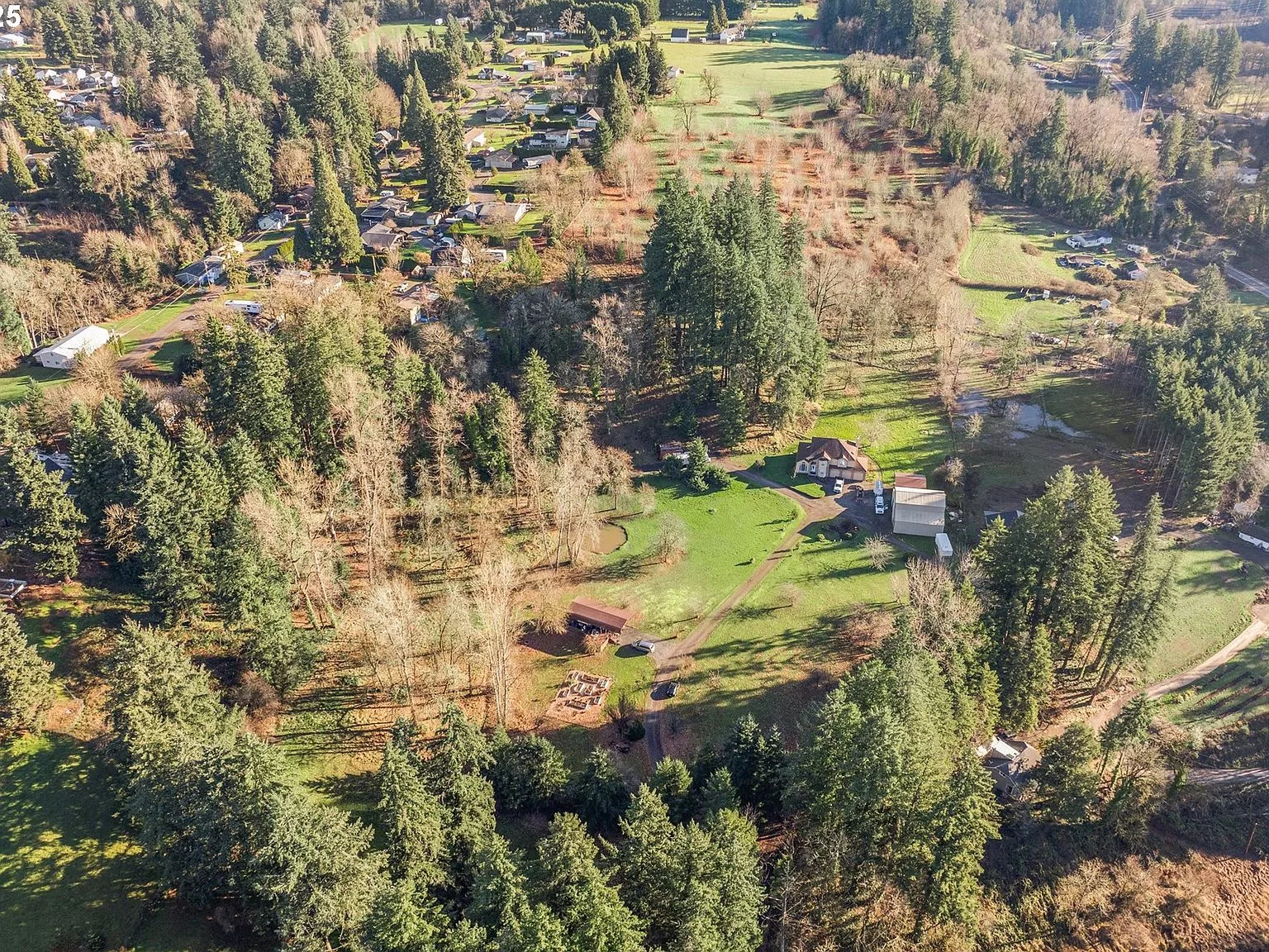
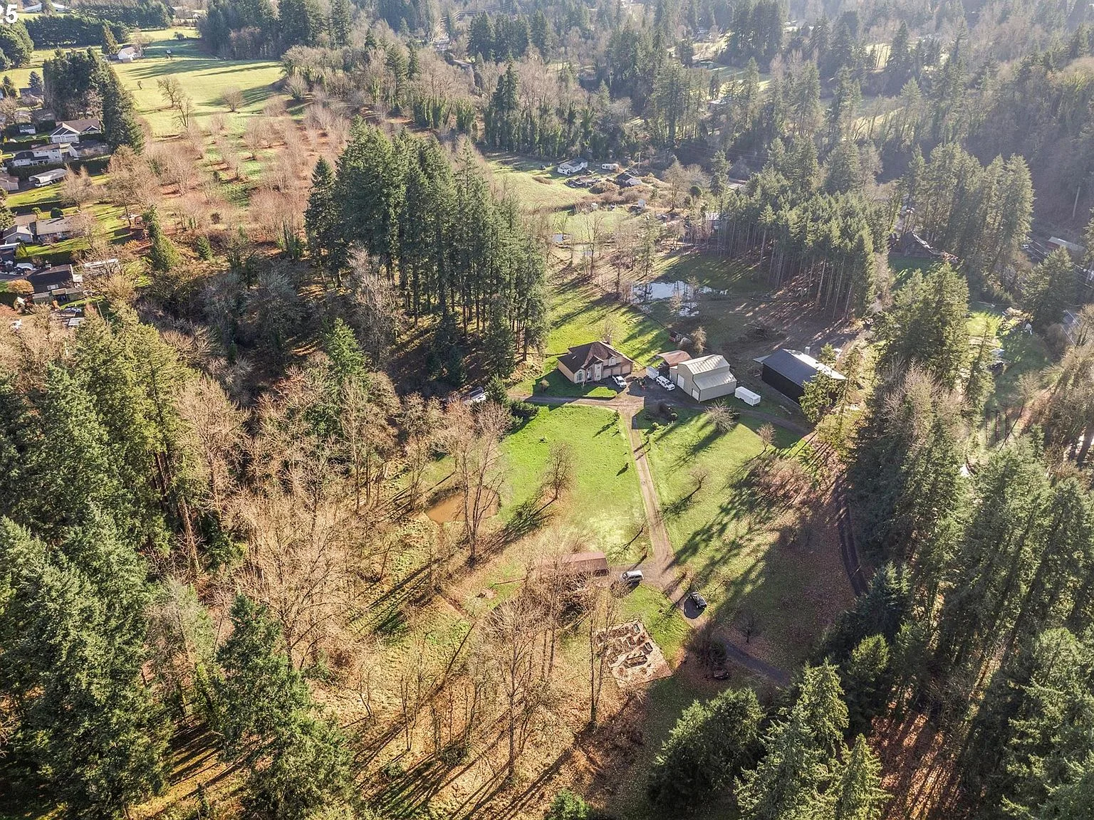
Wide aerial view of the residence, outbuildings, and pond in the central part of the property at 16868 S Livesay Rd
Aerial 01 · Residence, outbuildings & pond 1536 × 1152
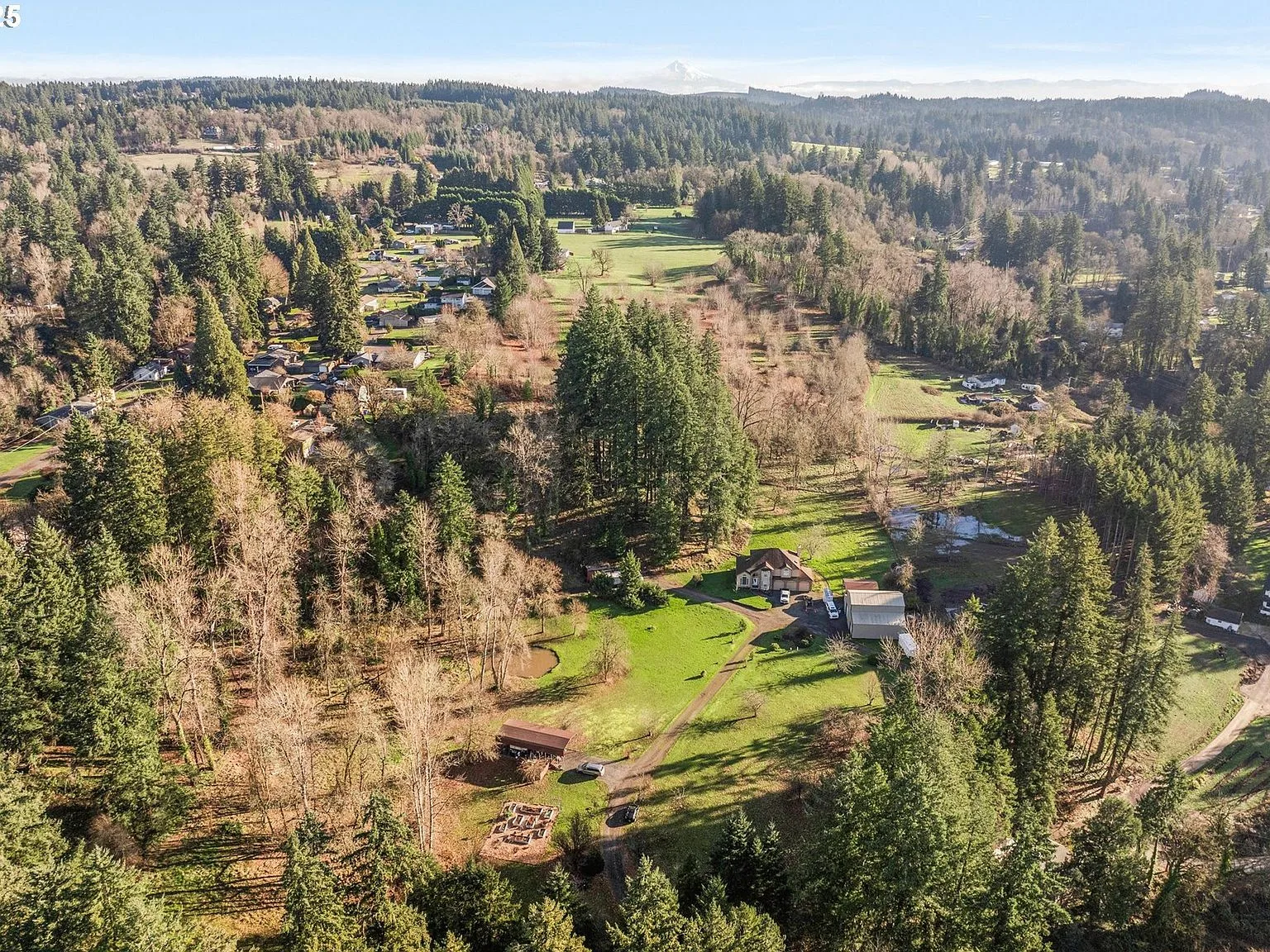
Aerial photograph looking across pasture and outbuildings toward distant hills from the property
Aerial 02 · South view to the hills 1536 × 1152
Aerial view of open pasture, dense tree cover, and existing structures on the 7.89-acre parcel
Aerial 03 · Pasture, tree line & structures 1536 × 1152

Gallery · Ground level

The property, up close

Ground-level photography walks the approach and the interior: the house with its shop, the wooded driveway and access road, the deck overlooking the lawn, and the traditional wood kitchen.
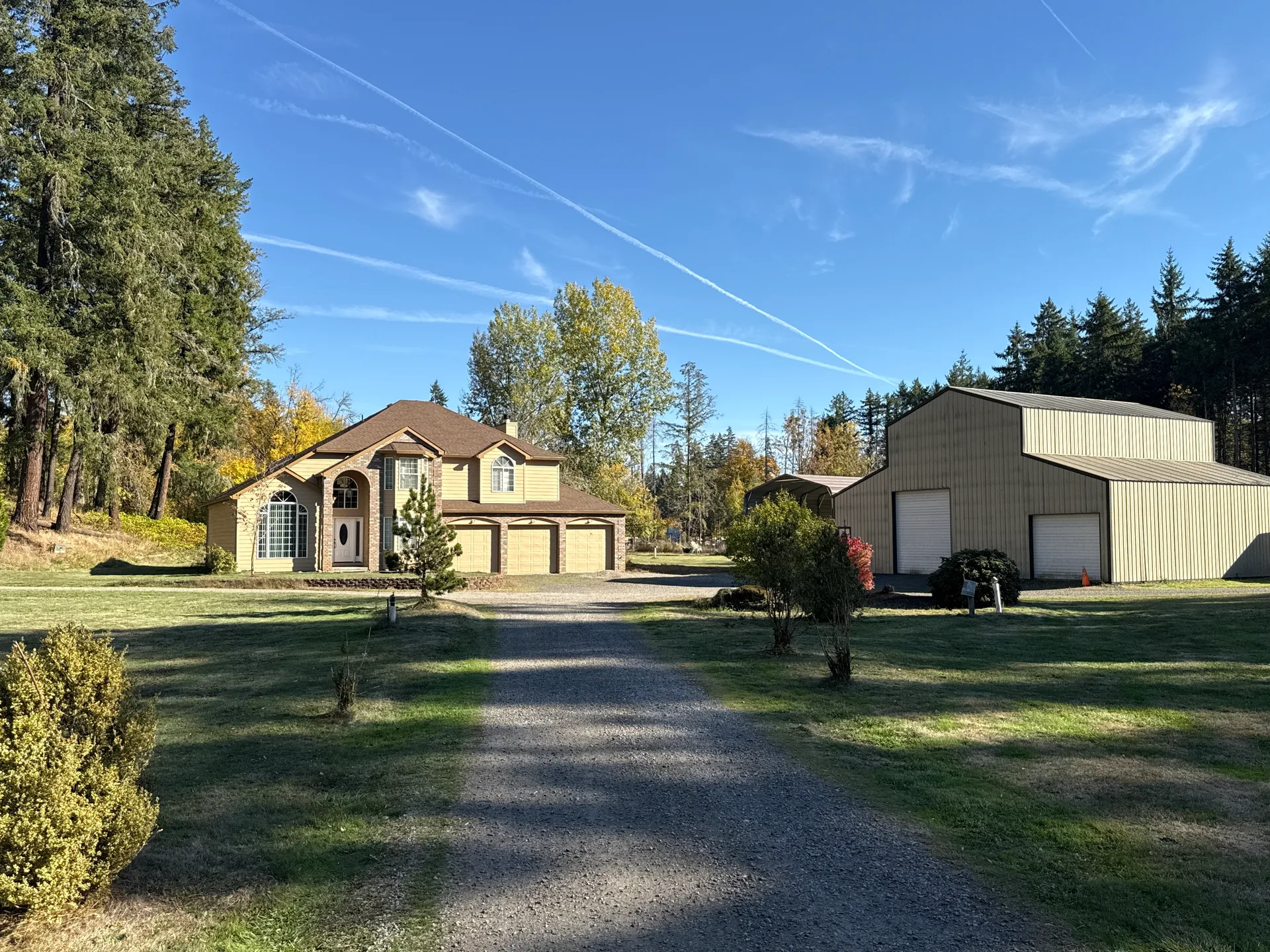
Exterior view of the house and its adjacent detached garage and shop at 16868 S Livesay Rd
Exterior 01 · House & shop facade 1920 × 1440
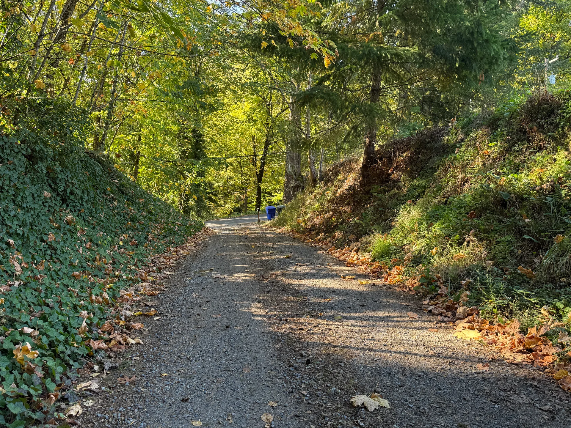
Wooded dirt driveway with ivy-covered embankments leading into the property at 16868 S Livesay Rd
Exterior 02 · Wooded dirt driveway 1920 × 1440
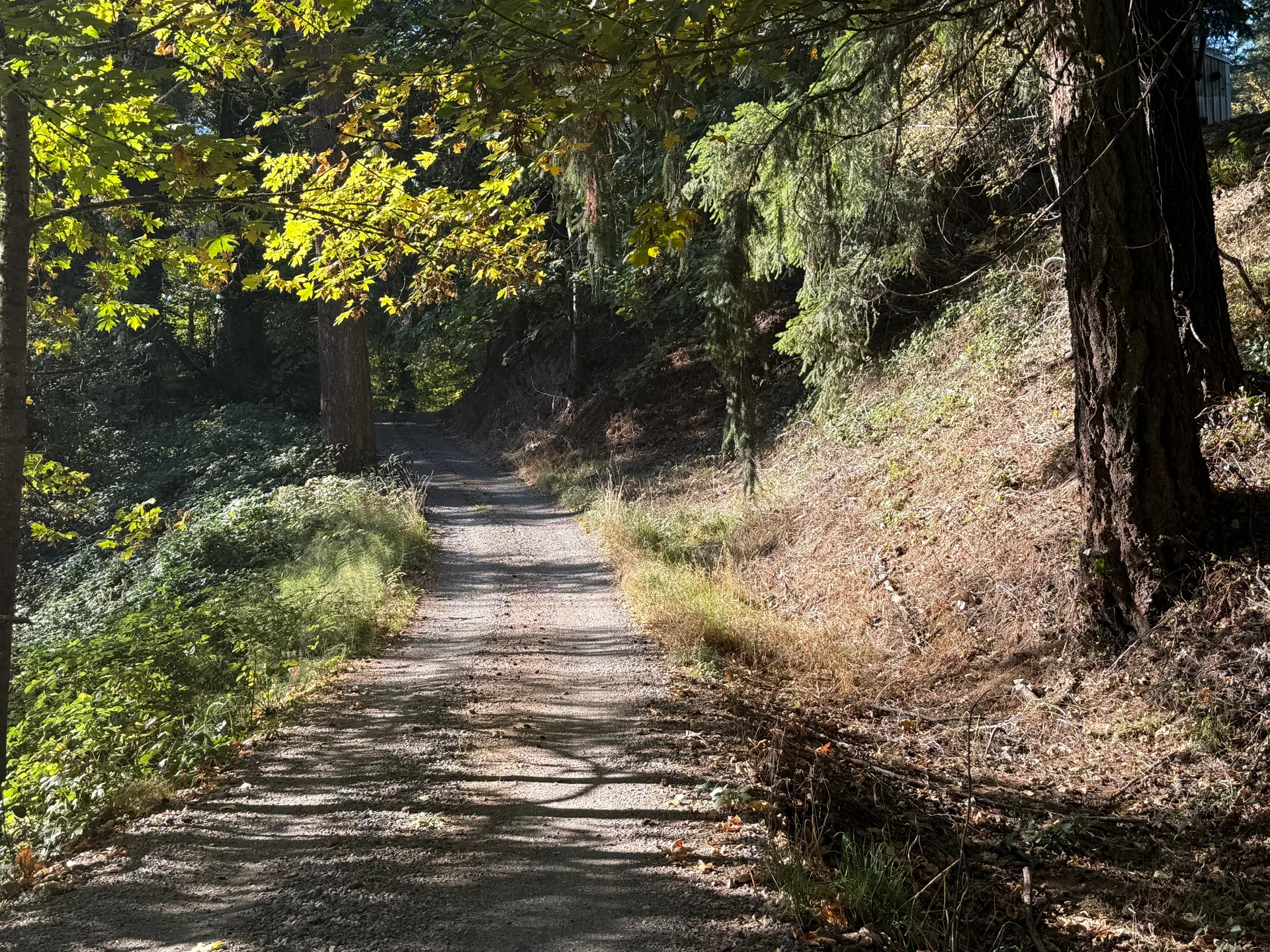
Wooded dirt access road lined with conifers and underbrush on the property at 16868 S Livesay Rd
Exterior 03 · Wooded access road 1920 × 1440
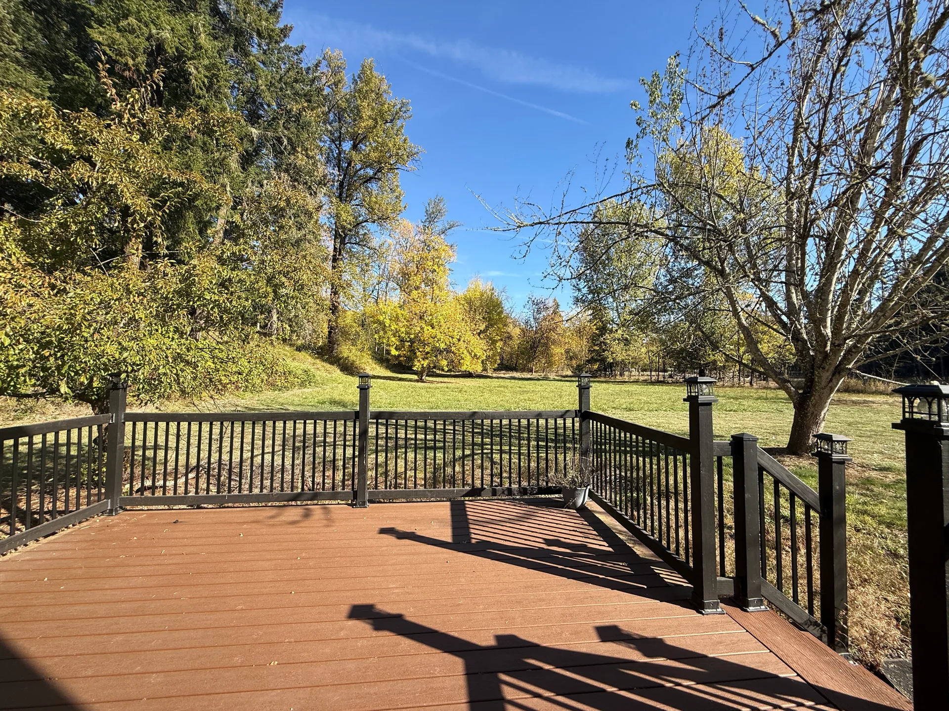
Backyard deck with black metal railings overlooking the grassy lawn at 16868 S Livesay Rd
Exterior 04 · Backyard deck 1920 × 1440
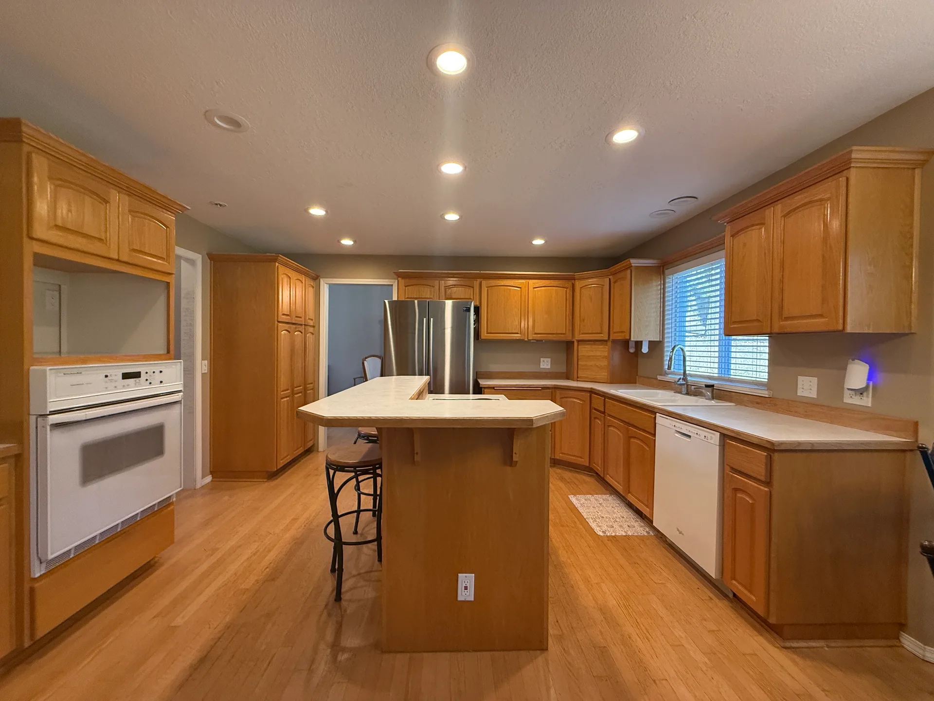
Traditional wood kitchen with medium-tone cabinets and light countertops at 16868 S Livesay Rd
Interior 01 · Traditional wood kitchen 1920 × 1440

Maps & surveys

The paper trail

All documents
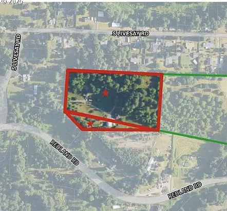
Aerial parcel overlay map showing property boundaries between S Livesay Rd and S Redland Rd with road labels

Survey · Parcel overlay

Aerial view with parcel boundaries and road labels for S Livesay Rd and S Redland Rd.
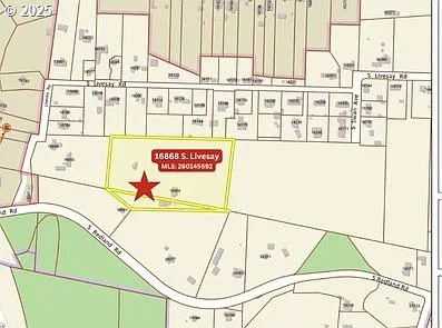
Plat map of the two parcels with boundaries and a red star marking the 7.89-acre site

Plat map

Property survey with parcel boundaries, zoning context, and adjacent roads.
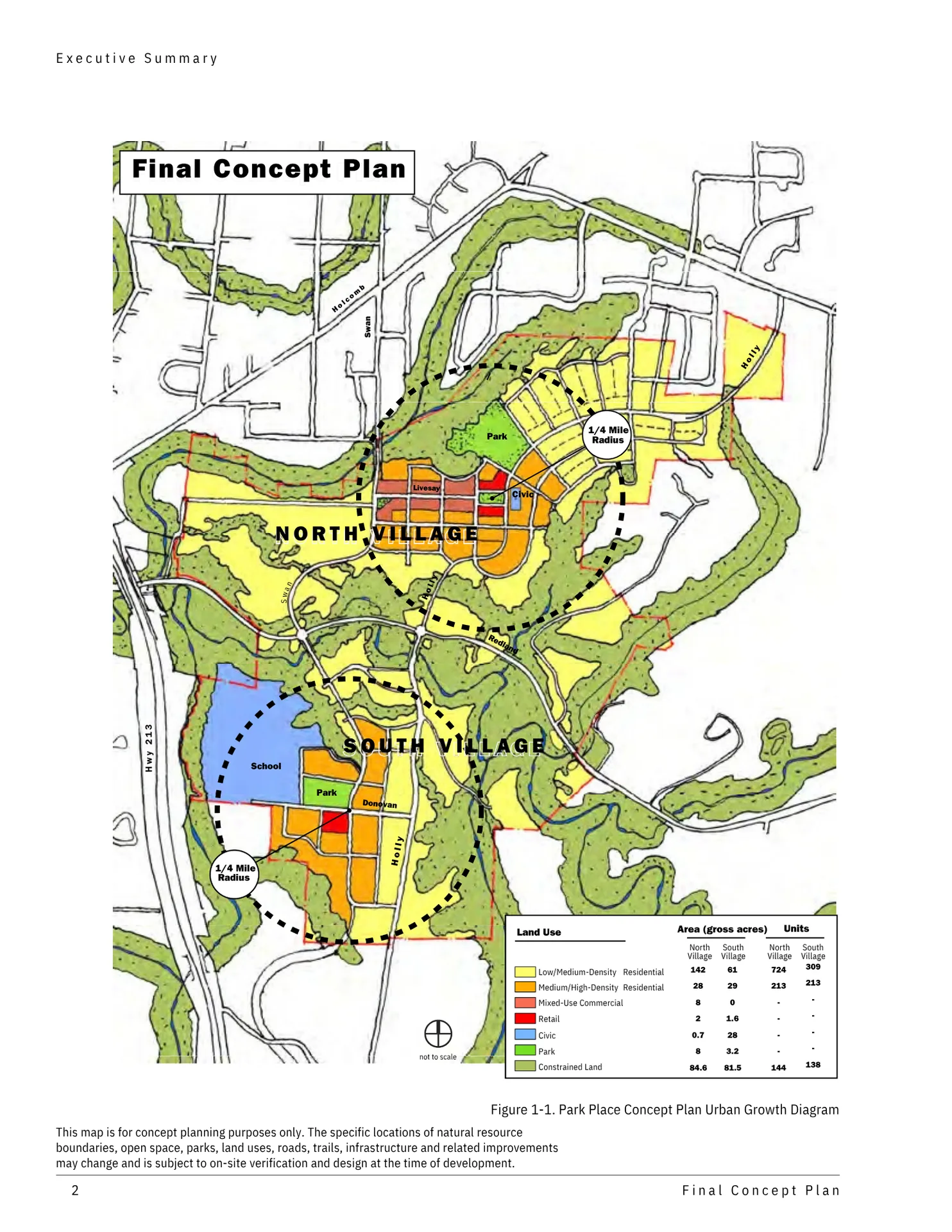
Park Place Concept Plan map showing land uses and village areas for the Park Place planning district in Oregon City

Concept plan map

Park Place Concept Plan land uses, including the North Village and South Village.

Ready to see it in person?

Schedule a site visit with Danielle's team

Aerial photography tells part of the story. Walk the parcels, check the access and the tree lines, and talk through the concept plan in person.